


the joy of finding one's way

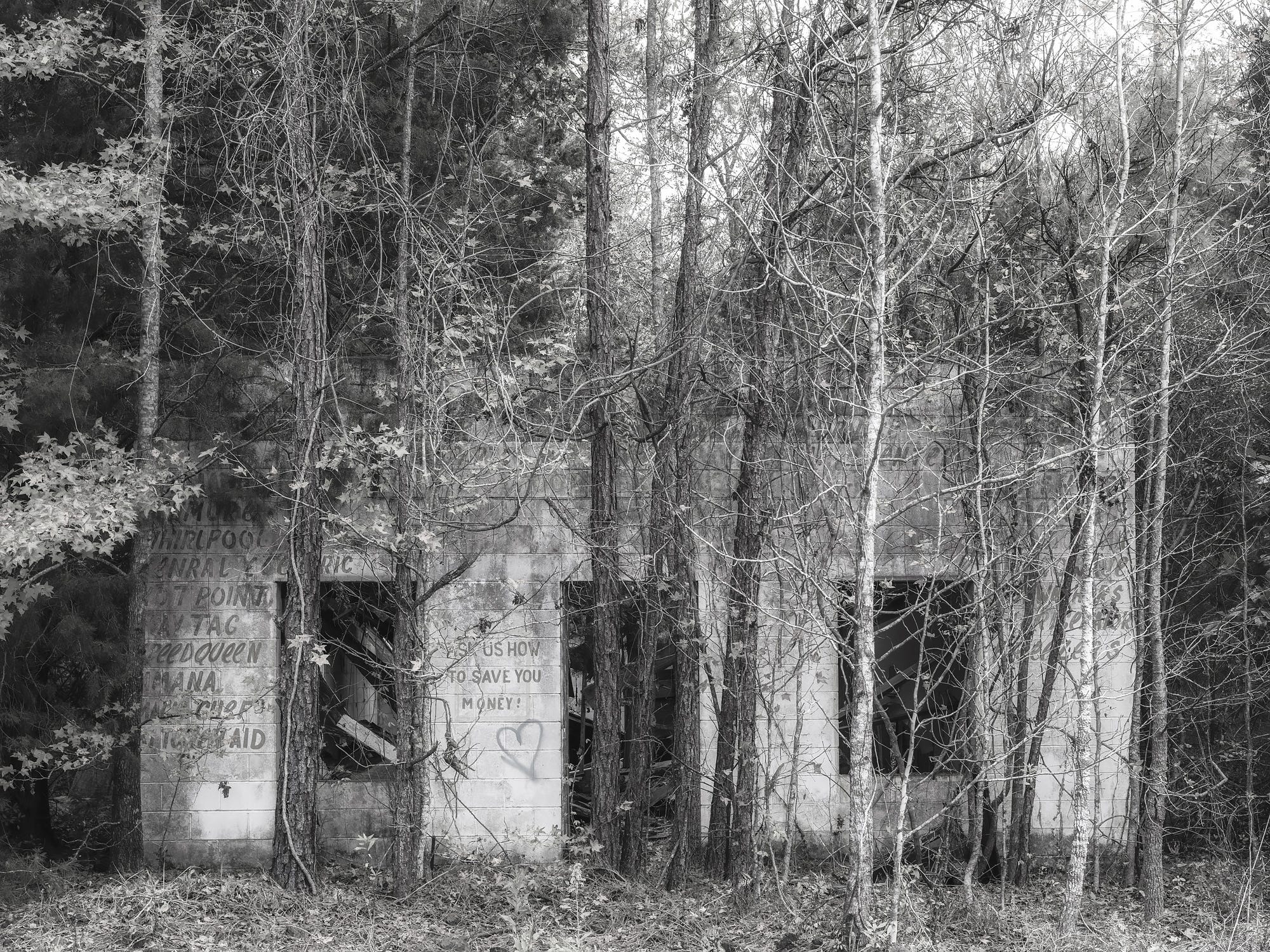
On road trips, I keep my eyes open for signs from the past like this old store in South Georgia. ©2023 Lee Anne White
What would we do without GPS? For thousands of years, we relied upon maps to get us where we needed to go. In fact, the earliest known maps date back to the 6th Century, BCE, when the world was assumed flat. GPS was first made available to civilians around 20 years ago, back in the days of flip phones.
I’ve always loved maps: road maps, trail maps, topo maps, historical maps, world maps, stargazing maps, public garden maps, weather maps. Even political maps and climate change maps can be pretty interesting, though I’ve never used one to get anywhere.
I have a well-worn U.S. Road Map highlighted with all the highways I have traveled. When I turned 40 and spent a month driving solo from Georgia to California and back, my dad tracked my progress with a road atlas. Just the other day, my husband was highlighting a state map with a ruler and yellow marker—trying to find back roads that most closely aligned with a direct line between Gainesville and Amelia Island. I once had a giant roll-down school map hanging on the wall in my office. It still showed territories rather than states in the western half of the U.S., though large sections had crumbed and were missing, rendering it largely useless. The glove box in my car always has an assortment of maps—Georgia and adjacent states, the East Coast for mapping my route to Maine, the Blue Ridge Parkway. And there is the box I keep in the attic with maps of every U.S. state and major cities, along with the countries we have visited. (Maps were the real reason I joined AAA every year.) At one point, I even had a map of the moon. It probably came from a National Geographic magazine.
We added at least three maps to the collection this past year. The Bartram Trail map shows an astounding amount of detail. It took me a while just to grasp the scale of this map. A laminated wall map of our National Parks allows me to place stickers on those I’ve visited. And then there is the The Essential Geography of the United States of America map, named Best of Show in 2012 by the Cartography and Geographic Information Society, and which was created by a single individual, David Imus. (Most maps are made by large corporations.) At first glance, you may think it looks like any other map, but the amount of information conveyed on this map and the attention to detail is impressive. It is a joy to study, which we are currently doing as we plan our first serious road trip in the hippy bus.
As a landscape photographer, I consider maps essential tools. They help me identify places I want to explore and to find my way there. They convey the history and culture of a place. They allow me to daydream. And when I wander off course, they help me find my way back.
When I was 16, my dad handed me a map, a list of addresses and load of hams that I was to deliver to clients on the Friday before Christmas. All of the destinations were all in Atlanta, about an hour away. It took me most of the day, as they were scattered about town, but there was a bit of time at the end to wander. I remember getting totally lost, but not being worried because I had a map. I checked the street signs, looked them up in the index, located the coordinates, and then found my way back to a main road headed north toward home.
I hope someone still teaches kids how to read maps. It’s far more interesting and often quite more efficient than GPS-based services. Do you have a favorite map or map story?
I am SO with you when it comes to maps. I like to look at the big picture and figure out how to get from here to there. I have a big collection of maps and I'm lucky to have a son who loves to drive. He lives in NYC so doesn't own a car. When he comes to visit me we hop in my car in the morning and just explore all day. No purpose. No destination in mind. Just exploring. He doesn't mind dirt roads, or city streets. We have so much fun. We both have GPS on our phones but he likes to pull out the maps I have in my glove compartment and study the big picture. I guess if we had a specific destination we'd use the GPS. But for just exploring...maps are what we want. It's a great way to spend a day.
We love our DeLorme Atlas of Maine but more than once we have sought out roads that turned to dirt and then to... animal trails? The road names are also interesting! There are many that share the same name, some that reflect families in the area and some that capture events of long ago! I am not a great map reader in urban areas - the maze of highways boggles my mind! It sounds like you are a confident navigator in both domains! A great life skill in my opinion.